
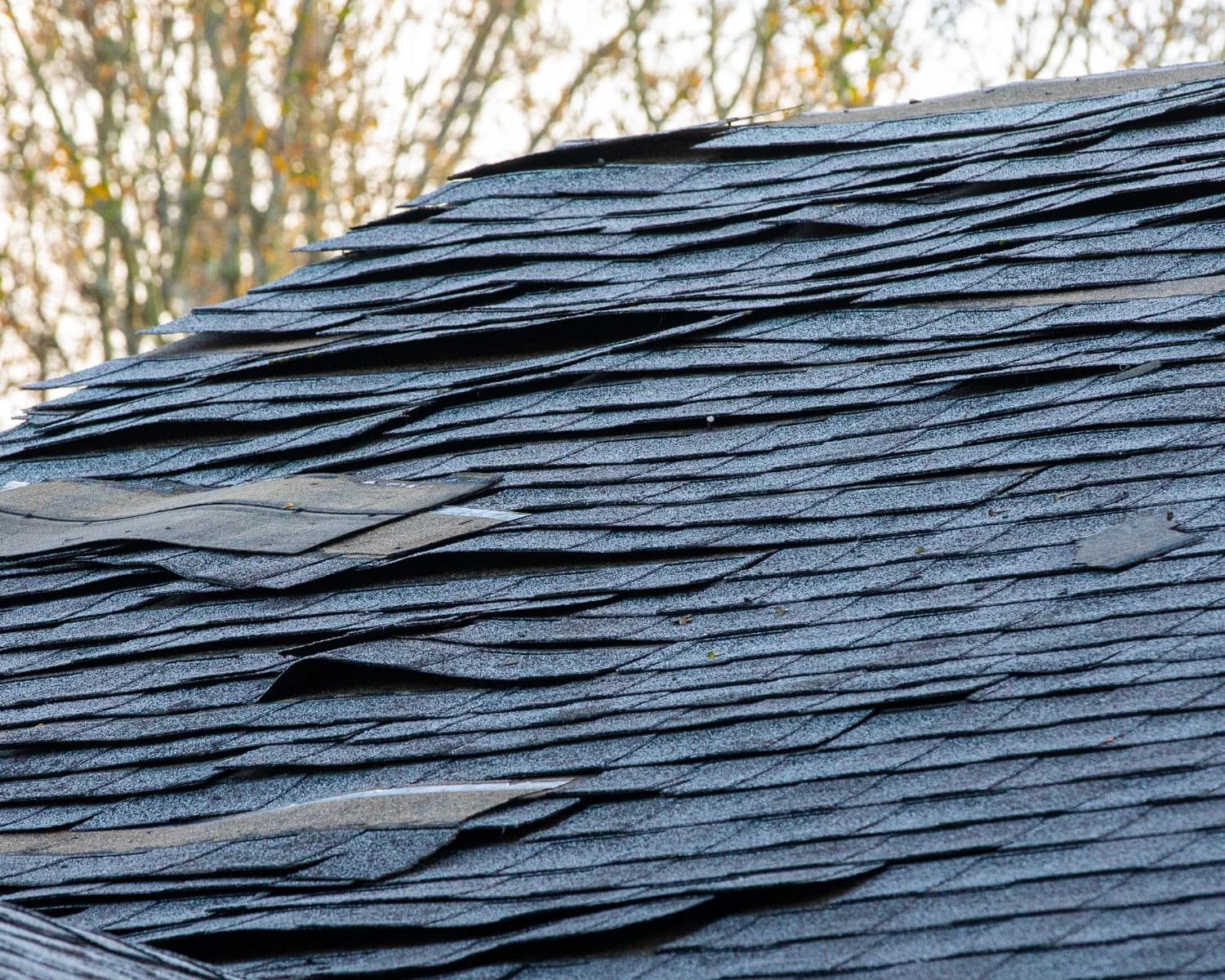
Houston property owners have a reason to revisit their winter rain plans. El Niño is already established in 2026, and forecasters expect further strengthening as the year ends. The practical question is what that changing Pacific pattern could mean for roofs, drainage and access to homes and businesses across Southeast Texas.
This guide replaces our winter 2023 article with an original assessment for winter 2026–27. Forecast information was checked on October 12, 2026; use the linked official updates for changes after that date.
What the October 2026 forecast actually says
In its October 8 ENSO discussion, NOAA’s Climate Prediction Center reported ongoing strengthening and favored strong to very strong conditions into January–March 2027. For October–December 2026, it assigned an 83% probability to a three-month Relative Oceanic Niño Index, or RONI, of at least +2.5°C, a level it associated with a potentially historic event. That percentage describes Pacific climate conditions, not the probability that a Houston neighborhood will flood.
The World Meteorological Organization’s October 8 update also anticipates intensification toward a December peak. WMO expects the pattern to persist into early 2027, with temperature and rainfall effects varying around the world. A projected peak is still a forecast, rather than a completed record.
What does “super El Niño” mean?
“Super” is a popular description of an unusually intense El Niño, not a hurricane category or a separate kind of storm. The Met Office’s explanation of the term makes that distinction. Official outlooks are more useful when read with their issue date, measurement and probability attached.
El Niño begins with changes in tropical Pacific waters and atmospheric circulation. As trade winds weaken, warmer water extends eastward and the Pacific jet stream can shift south. NOAA’s El Niño overview explains why that pattern often favors wetter winters along the Gulf Coast. It does not travel toward Texas with an arrival time or a landfall point.
What could Houston experience this winter?
A wetter winter is a reasonable planning concern, but the seasonal pattern cannot tell you which street will receive the heaviest rain. As historical context, an NWS Houston/Galveston study published in its 2024–25 winter outlook found that approximately 77% of El Niño winters at Bush Intercontinental Airport had above-average precipitation, and about 70% had below-average temperatures. Those are historical frequencies from that study, not forecast probabilities for winter 2026–27.
The same local guidance explains that shorter-lived weather patterns can override the seasonal signal. El Niño alone cannot establish whether Houston will get a damaging freeze, ice or snow on a particular date. The WMO September assessment likewise cautions that a stronger event does not produce equally severe consequences everywhere; other ocean and atmospheric influences matter.
Our property-planning takeaway: use the seasonal outlook to choose work worth completing before winter, then use NWS Houston/Galveston forecasts and warnings to decide when to change travel, secure a site or activate an emergency plan.
Five useful jobs before the next heavy-rain forecast
These are practical maintenance priorities for Houston-area properties, rather than predictions that your building will be damaged.
- Put unresolved leaks on one list. Note ceiling stains, previous leak locations and temporary repairs. Collect the dates and photographs you already have so a roof assessment can focus on the right areas. Arrange roof access through a qualified professional.
- Check the route water takes away from the building. From a safe ground-level position, look for blocked downspout outlets, debris at drains and familiar pooling spots. Arrange appropriate cleaning or a drainage assessment before a storm, particularly where water gathers near doors or loading areas.
- Make records easy to reach. Keep repair invoices, property photographs and emergency contacts together. For a business, identify who can authorize protective work and how a contractor would gain access after hours.
- Plan for disrupted access. Identify routes to higher ground and a place to meet if family members or employees are separated. Keep essential supplies and charged communication devices available. The NWS flood-preparation guide covers these preparations in more detail.
- Set a forecast check-in routine. Before outdoor work, deliveries or an approaching rain event, check local warnings rather than relying on a seasonal headline. Assign that responsibility to a specific person if you manage a commercial property.
If water starts entering the property
Protect people before inspecting damage. Follow evacuation directions, stay out of floodwater and avoid rooms where water may contact electrical equipment. Do not drive across a flooded road to check a building. See the National Weather Service’s guidance during flooding.
Once access is safe, record where water appeared, when it started and which rooms or materials were affected. Roof entry, surface flooding and a plumbing leak can require different assessments. HTX Elite Build can discuss water damage restoration, storm-related repairs and construction needs. Send your property details to start that conversation; a seasonal forecast alone does not establish a repair scope.
Keep the forecast date in view
This article is a dated planning guide. Check the latest NOAA ENSO discussion for the evolving seasonal picture and the local NWS office for immediate conditions. The useful response to a strong El Niño outlook is to deal with known vulnerabilities while there is time.
Sources and reading notes
- NOAA Climate Prediction Center, October 8, 2026 — dated outlook and RONI strength probability.
- WMO, October 8, 2026 — expected peak and global seasonal context.
- WMO, September 3, 2026 — persistence and regional differences in impacts.
- Met Office, April 15, 2026 — terminology and explanation, not the current forecast used above.
- NOAA National Ocean Service — how the Pacific pattern influences weather.
- NWS Houston/Galveston, 2024–25 winter outlook — historical Houston relationships only; its old seasonal forecast is not used for 2026–27.
- NWS preparation guidance and flood safety guidance — actions before and during flooding.