Hurricanes can be devastating, causing costly damage and loss of life. Thankfully, there is usually a significant warning period before one makes landfall, and numerous analyses of where it may possibly set down. This article provides helpful information on these large-scale natural disasters, so you can be better prepared if you live in a region that is prone to hurricanes.
Which Hurricane Season zone do you live in?
To begin, hurricane season is different depending on location—namely, the Atlantic, Pacific, or Central Pacific. The Atlantic Ocean hurricane season is from June 1 st to November 30 th , while the Eastern Pacific Ocean hurricane season is from May 15 th to November 30 th . The Central Pacific, where Hawaii is located, experiences hurricane season from June 1 st to November 30 th . Still, it’s important to note that hurricanes can occur outside of these official windows designated by NOAA’s Atlantic Oceanographic and Meteorological Laboratory.
Is it a hurricane or a tropical storm?
Sometimes the news refers to both hurricanes and tropical storms, seemingly interchangeably. So, what exactly is the difference? It boils down to wind speed, but first, it’s important to establish the term “tropical cyclone” which is a generic name for a low-pressure system formed over tropical waters, with thunderstorm activity near its symmetrical core. Furthermore, the progression to a hurricane (or typhoon, as it’s known in certain parts of the world) looks like this:
- Tropical disturbance: same as a tropical storm, but lacks a closed circulation
- Tropical depression: wind speeds equal to or less than 39 mph, but with a closed circulation
- Tropical storm: wind speeds between 39 and 74 mph; is given a name at this point
- Hurricane/typhoon: wind speeds in excess of 74 mph
Once the status of tropical storm or hurricane is reached, it can be measured on the Saffir-Simpson Scale, where there are 5 levels. The categories are as follows:
- Category 1: 74-95 mph
- Category 2: 96-110 mph
- Category 3: 111-129 mph
- Category 4: 130-156 mph
- Category 5: 157+ mph
Hurricanes are predictable
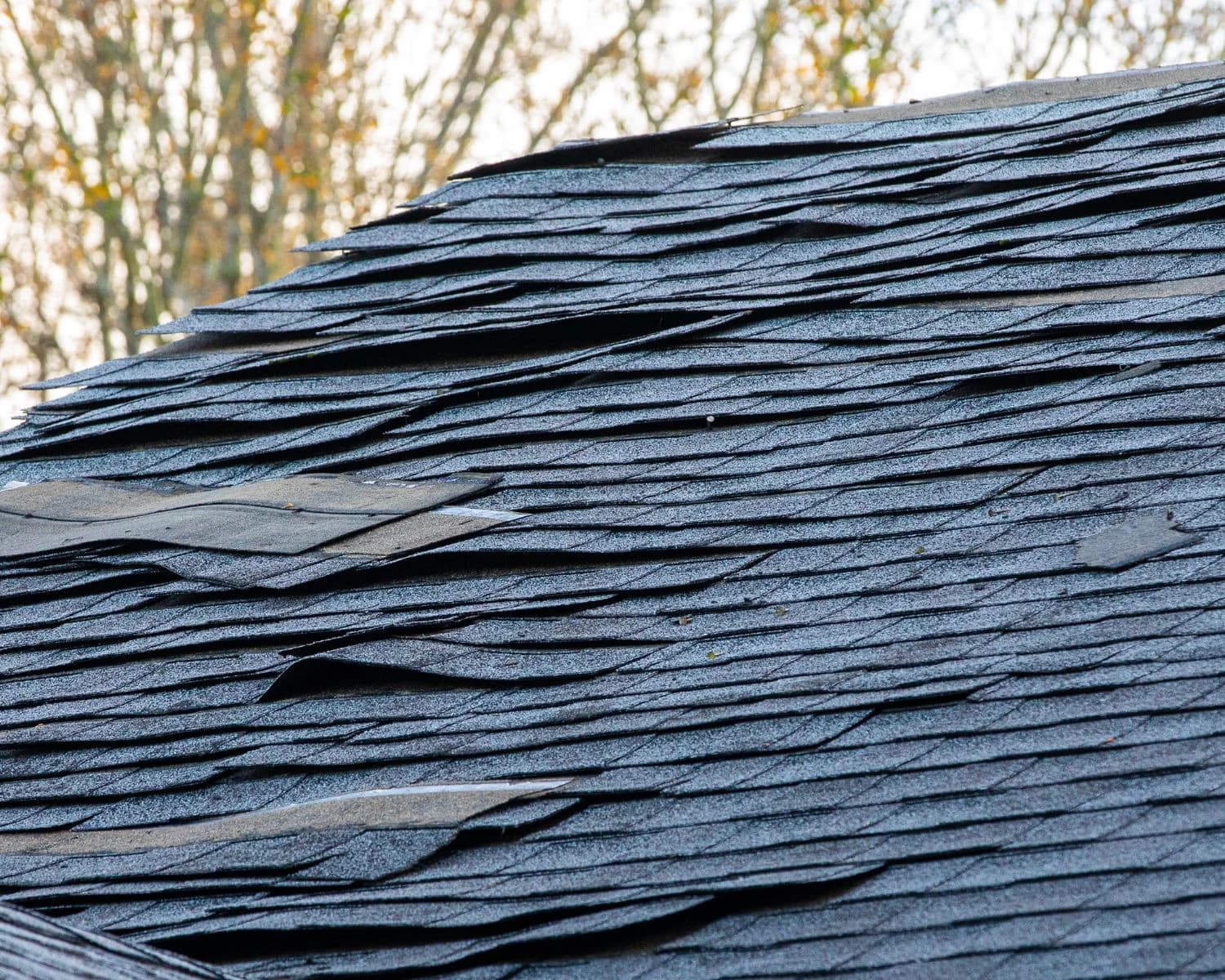
The warmer the water, the stronger the hurricane. In fact, hurricanes form due to ocean water of at least 80 degrees Fahrenheit, and converging winds. That’s why hurricanes most frequently occur in the south, especially in the summer when the water is warmest, and the air is moist. Furthermore, keep in mind that just because a hurricane is bigger, doesn’t necessarily mean it will cause more storm damage. Wind speed and flooding are the primary causes of destruction, so a small, intense Category 3-5 hurricane could very easily cause more damage than a larger, Category 1 or 2 hurricane.
Which states get the most hurricanes?
Which states, exactly, are most prone to hurricanes? Well, the state of Florida receives the most, while nearby states, such as Louisiana and Texas , are also some of the most frequently hit. Additionally, the Carolinas, particularly North Carolina , are also susceptible. Despite these statistics, the Western coastal states are also at risk, and even then, especially strong hurricanes can cause destruction as they move inward and become depressions over land. In other words, non-coastal states can also experience hurricane damage. This includes flash flooding and storm surges, which are incredibly dangerous and often strike quickly.
Just like tornadoes , there are both hurricane watches and hurricane warnings . The difference? A hurricane watch indicates hurricane force winds are possible due to current conditions within a specified area, in association with a tropical cyclone. These are issued 48 hours in advance of expected start. Conversely, a hurricane warning indicates hurricane force winds are expected within a specified area, in association with a tropical cyclone. These are issued 36 hours in advance of expected start. The National Hurricane Center maintains a Glossary of Terms used in weather forecasts, that may be useful when watching your local weather channel, or understanding what may be coming your way.
Ultimately, one of the best things you can do year-round is stay informed; watch both local and national weather, since hurricanes can abruptly change or divert off their expected path. Make sure you have a plan of action in place so you can safe during severe weather, and keep your loved ones safe. And always ensure your home or place of business is fortified and prepared for wind and water damage that may result from these intense storm systems.
Plan now for a disaster later
Sources:
https://www.aoml.noaa.gov/hrd-faq/
https://www.aoml.noaa.gov/hrd-faq/#storm-surge-forecasting
https://www.aoml.noaa.gov/hrd-faq/#what-is-a-hurricane
https://www.nhc.noaa.gov/gtwo.php?basin=atlc&fdays=2